One of my favorite places to roam and to photograph is on Roan Mountain. Roan mountain is located on the state line of Tennesee and North Carolina. A wonderful panoramic map of the Highlands of Roan can be found here: http://www.mappery.com/map-of/Panoramic-Map-of-Highlands-of-Roan-from-NC. This map was created by Polaris Cartography.
Whenever we go to hike or photograph on Roan Mountain, we enter Roan Mountain State Park. From there, we head to
Carver’s Gap. At Carver’s Gap, we find parking and hit the Appalachian Trail up to Round Bald. This is a very nice hike. The beginning of the hike takes you through an area of forest. Once you hike up through the forest and reach the top of Round Bald, you can enjoy a 360 degree view from an elevation of 5826′.
This is an image I created on the top of Round Bald in June.
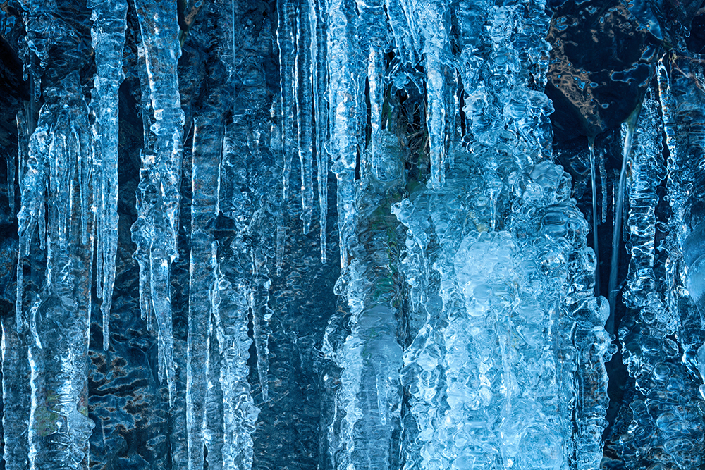
Last weekend, when we visited Roan Mountain State Park and Round Bald, we were greeted with much cooler weather. Icicles formed along the roadway as we made our way to Carver’s Gap.
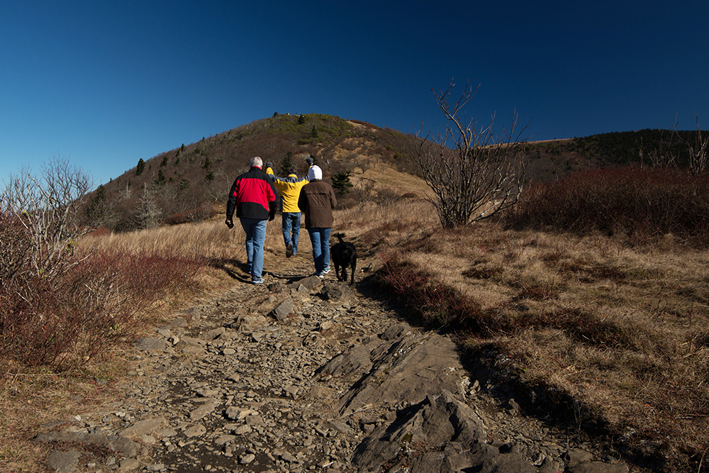
Once at Carver’s Gap, we were surprised to see as many vehicles in the parking lot as we did. Although the temperature was cooling, the sun was out and welcoming hikers to the roam the Highlands.
There are some locations along the Appalachian Trail that do not welcome dogs. This area is not one of them. Hikers, many with dogs, were enjoying the sunny, crisp day hiking the Balds.
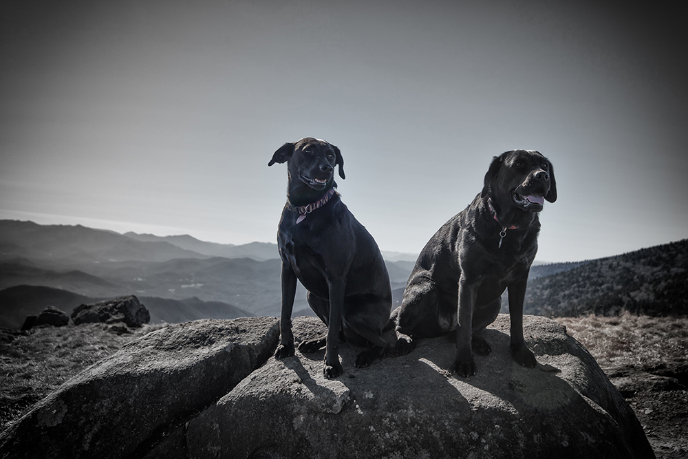
My friends, my husband, our dogs, and I had a wonderful time hiking last weekend at Roan Mountain. There is always something to see and photograph there.
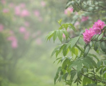
By far, my favorite time of year to visit and photograph Roan Mountain is when the rhododendron and flame azaleas are blooming in June. These are images I created from my visit this June.


Whichever season you choose to visit this area, you will not be disappointed.
Get out of the car…feel free to roam the Highlands of Roan!
Discover more from Mary Presson Roberts Photography
Subscribe to get the latest posts sent to your email.


Add comment